Sketching tools enabled stakeholders to draw and modify prospective aquaculture, sanctuary and shipping zones
Reporting tools provided feedback on habitats captured, sanctuary size, and impacts to fisheries
Forums were used to capture stakeholder meeting notes, and share prospective plans over social media
Key Features Used
Visit the SeaSketch Project
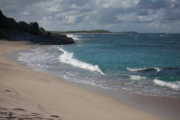
Antigua and Barbuda is a small island nation in the Northeast Caribbean. Barbuda, the smaller of the two islands, is home to approximately 1,800 people, most of whom fish at some time during the year. Everyone - including the 50 or so commercial fishermen in Barbuda - will tell you that fish stocks have declined heavily over the last decade.
The Barbuda Blue Halo Intiative used SeaSketch to engage almost every resident of Barbuda in the collaborative design of a zoning plan. SeaSketch was configured to show how well user-generated zones met science and policy guidelines for ecosystem protection and minimizing economic impacts to fishermen.

Ayana Elizabeth Johnson using SeaSketch during a stakeholder consultation. SeaSketch was used in the field using off-the-shelf cellular connections.
The Barbuda Blue Halo Initiative is an ambitious project involving comprehensive zoning of the area within Barbuda's 3 nautical mile boundary. All of the steps, including baseline dive surveys, habitat mapping, ocean use surveys and fisheries mapping, identification of stakeholder priorities, outreach and education, public consultations - the entire process, began in March, 2013. As of April 2, 2014, the Barbuda Council has approved of the zoning plan including the following:
- 13 Zones in encompassing 51% of state waters and 87% of the Barbuda lagoon.
- 6 no-take marine sanctuaries representing 33% of state waters and 87% of the lagoon.
- 3 "No-Net" zones that ban the use of nets on coral reefs and other sensitive habitats.
- 4 mooring areas that restrict anchoring to areas without sensitive habitats.
SeaSketch was used to capture ideas and opinions from stakeholders for the location and type of zones that will be implemented this year. Using a laptop connected to the Internet via a cellular service, we met with stakeholders in public and private meetings to ensure that plans represented the interests of all those on the island who will be effected.
SeaSketch was instrumental in gathering data by way of surveys which included, among other things, questions about where people fish and the relative value of fishing grounds to fishermen. These data were used to estimate the relative displacement of fishing effort as prospective no-take sanctuaries were sketched and evaluated. The comprehensive plan is now available for viewing in a public forum within the Barbuda Blue Halo Initiative project in SeaSketch.
Click here to read more about how zones were developed in Barbuda.